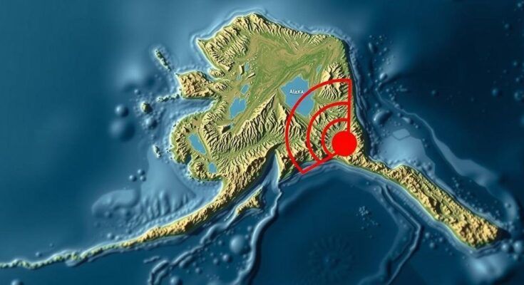
A magnitude 1.7 earthquake struck 45 miles NW of Tatitlek, Alaska, on November 6, 2024. At a depth of 9.9 miles, this event has yet to be reviewed by a seismologist. Southern Alaska’s seismicity is driven by interactions between tectonic plates and various faults, underscoring the region’s ongoing earthquake risks.
On November 6, 2024, at 02:48:31 AKST, a magnitude 1.7 earthquake occurred approximately 45 miles northwest of Tatitlek, Alaska. The earthquake took place at a depth of 9.9 miles (16 km) and has not yet undergone seismologist review. Its geographic coordinates are 61.3214°N and 147.6294°W, positioning it significant distances from various Alaskan towns, including Valdez, Sutton, and Anchorage. Southern Alaska’s tectonic activity is influenced by several geological features. Notably, the megathrust fault demarcates the subduction zone between the Pacific and North American plates, responsible for the region’s strongest seismic events. The significant 1964 M9.2 Great Alaska Earthquake originated here, which remains one of the most powerful earthquakes ever recorded. Intermediate-depth seismic activity can be traced to the Wadati-Benioff Zone, where seismicity has been identified down to approximately 140 miles (225 km), presenting notable recent examples such as the 2016 M7.1 Iniskin and the 2018 M7.1 Anchorage earthquakes. Furthermore, crustal seismicity within southern and central Alaska encompasses various major sources, including the Cook Inlet basin faults, the Castle Mountain Fault, and a broad band of diffuse seismicity that stretches from Cook Inlet toward the Denali Fault. Historical seismic events, such as the April 1933 M6.9 earthquake in Anchorage, demonstrate the significant geological potential of mapped structures in the region. Additionally, the Castle Mountain Fault, situated approximately 25 miles north of Anchorage, has recorded recent seismic activity, notably the 1984 M5.6 Sutton Earthquake, which underscores the area’s geological instability. Understanding the tectonic setting and seismic events of southern Alaska is vital for assessing risks and ensuring the preparedness of local communities against future earthquakes. Monitoring and analysis of seismic data play critical roles in evaluating these potential hazards.
The topic of earthquakes in southern Alaska is deeply rooted in the region’s complex geology, primarily influenced by the interactions between the Pacific and North American tectonic plates. This geological instability is responsible for significant seismic activities, which are essential to monitor and analyze for public safety. Historical earthquakes serve as critical case studies to aid in understanding and preparedness for future seismic events.
In conclusion, the November 2024 magnitude 1.7 earthquake near Tatitlek highlights the ongoing seismic activity in southern Alaska, a region known for its tectonic volatility. The megathrust fault, Wadati-Benioff Zone, and various crustal faults significantly contribute to the region’s earthquake risks. Continuous seismological reviews and geological assessments are crucial to enhance understanding and mitigate the effects of future seismic occurrences.
Original Source: earthquake.alaska.edu


