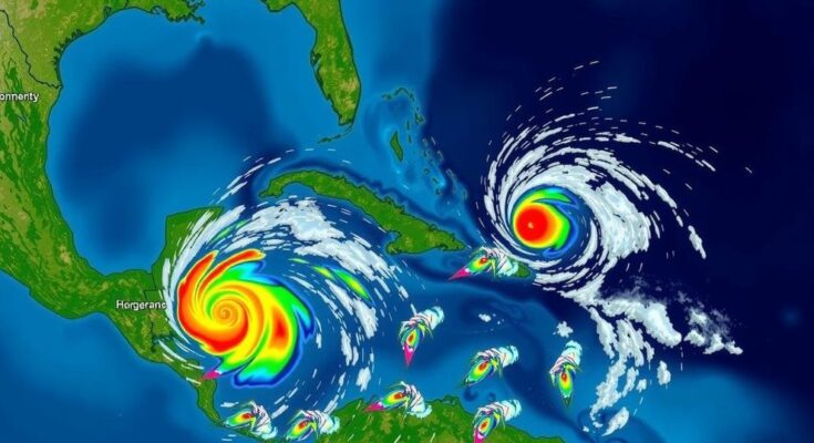
The National Hurricane Center identified Potential Tropical Cyclone Eighteen in the western Caribbean, which is expected to develop into a tropical storm soon and potentially a hurricane by mid-week. A hurricane watch is in effect for the Caymans, while Jamaica is under a tropical storm warning. The system’s track remains uncertain as it approaches the Gulf of Mexico, with historical trends indicating November is a significant month for cyclonic development.
The National Hurricane Center (NHC) has identified a significant area of low pressure in the western Caribbean, designating it as Potential Tropical Cyclone Eighteen (PTC18) as of Sunday afternoon. This system poses a likelihood of developing into a tropical storm by late Sunday night or early Monday morning. Historical patterns indicate that the western Caribbean experiences tropical developments particularly in November. Current trajectories suggest that PTC18 could progress northwestward throughout the week, potentially strengthening into a hurricane by Wednesday, as it approaches the Gulf of Mexico. A hurricane watch has been placed on the Cayman Islands, warning of possible hurricane conditions within approximately 48 hours. Meanwhile, Jamaica is under a tropical storm warning, which anticipates the arrival of tropical storm conditions within the next 24 to 36 hours. The NHC has provided a forecast indicating that this broad area of low pressure will likely bring substantial rainfall to adjacent areas in the western Caribbean. Although the system is projected to enter the Gulf of Mexico in late week, it is uncertain whether it will generate significant impacts on the U.S. Gulf Coast due to factors such as wind shear and dry air which might affect its organization and intensity as it moves northward. In addition to PTC18, the NHC is monitoring another trough of low pressure near Puerto Rico and Hispaniola, which could lead to local flooding, yet its chances of tropical development remain low. Furthermore, Subtropical Storm Patty was noted in the Northern Atlantic, expected to bring gusty weather to the Azores and Iberian Peninsula during the early part of the week. As hurricane season nears its conclusion, the likelihood of tropical storm formation diminishes. The western Caribbean and central Atlantic regions are historically the most active for named storm formations in November. Average occurrences suggest a storm may develop every one to two years in this final month. Notably, the previous year lacked any November storms, while 2022 saw significant developments with hurricanes Martin, Nicole, and Lisa forming during this timeframe.
The article discusses the developments pertaining to hurricane activity in November, a period marked by the declining frequency of tropical cyclones. Traditionally, areas such as the western Caribbean have demonstrated a capacity for storm formation even as the hurricane season closes. The NHC plays a pivotal role in monitoring and classifying these systems, which can evolve rapidly. Insights into historical patterns underline that November can yield significant storm activity, contrasting with observations from the previous year where no events occurred. Furthermore, the article explores several systems under watch, detailing their potential paths and impacts.
In summary, the National Hurricane Center’s recent observations of Potential Tropical Cyclone Eighteen indicate a significant likelihood of development into a tropical storm as it moves through the western Caribbean. With a hurricane watch active for the Cayman Islands and tropical storm warnings for Jamaica, the regional implications remain a focal point. Other systems in the Atlantic are being monitored, though the chance of further developments is subdued as the hurricane season approaches its end.
Original Source: weather.com


