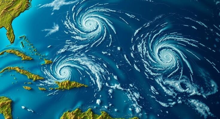
As of Thursday, the National Hurricane Center is monitoring three tropical systems in the Atlantic and Caribbean. The Southwestern Caribbean Sea system has a 60% chance of developing, while a low-pressure trough near Puerto Rico has a 10% chance, and another non-tropical system in the North Atlantic holds a 20% chance of development.
As of Thursday afternoon, the National Hurricane Center is actively monitoring three significant atmospheric systems in the Atlantic Ocean and the Caribbean region. The first system is located in the Southwestern Caribbean Sea, where indications of development persist. A broad low-pressure area is expected to form in this zone over the next couple of days, with the potential for gradual intensification. A tropical depression may materialize around the weekend or early next week as the system drifts generally northward or northwestward. Regardless of whether a formal system develops, the region from Nicaragua southeastward and extending to northern Colombia may experience heavy rainfall over the coming days. Presently, there is a 60% chance of the system developing within the next week, a notable increase from Wednesday’s 40%. The National Weather Service in Jacksonville has emphasized the importance of recognizing that systems emerging from the Northwest Caribbean Sea or Southeast Gulf of Mexico are not atypical for this time of year, citing historical patterns that frequently lead such storms to traverse South Florida or Cuba before affecting the Bahamas. Notably, historical examples include Michelle in 2001, while deviations from this trend were observed with storms such as Kate in 1985 and Nicole in 2022. The second area under review is a trough of low pressure positioned near Puerto Rico, generating extensive cloud cover and precipitation over the Dominican Republic, Virgin Islands, and northern Leeward Islands, as well as adjacent Atlantic waters. This system may observe slow development over the next 2-3 days as it moves west-northwestward towards the Greater Antilles. Eventually, it is anticipated to merge with the surrounding low-pressure area in the Caribbean. Localized heavy rainfall is anticipated over the coming days, spanning the northern Leeward Islands through Puerto Rico, Hispaniola, eastern Cuba, and the southeastern Bahamas. Currently, there exists a 10% chance of development within the next 2 to 7 days. Lastly, in the North Atlantic region, a storm-force non-tropical low pressure system has manifested approximately 550 miles west of the Azores, marked by showers and thunderstorms near its center. However, further intensification into a subtropical or tropical cyclone is expected to be gradual as it progresses eastward over the next few days. At present, there is a 20% probability of this system developing over the next 2 to 7 days. The next potential named storm in the Atlantic will be designated as Patty.
The National Hurricane Center focuses on tropical weather systems primarily during the hurricane season, which runs from June through November in the Atlantic Ocean and the Caribbean. These systems can range from low-pressure areas to fully formed tropical storms, with varying risks of development depending on atmospheric conditions. Observations and predictions of these systems are crucial for public safety as they can lead to severe weather events including heavy rainfall and hurricanes that affect coastal regions. Historical patterns play a significant role in understanding the behavior of these systems, particularly in relation to storm tracking and potential impacts.
In summary, the National Hurricane Center is monitoring three atmospheric systems as of Thursday afternoon. The Southwestern Caribbean Sea system demonstrates a heightened chance of developing into a tropical depression, while a trough near Puerto Rico may also see limited development. Lastly, a non-tropical low in the North Atlantic shows potential for slow development. Tracking these systems is vital to anticipating their impacts, especially regarding rainfall and storm paths in the coming days.
Original Source: www.news4jax.com


