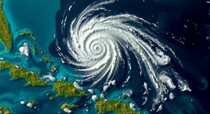
The likelihood of a low-pressure system in the Atlantic developing into Tropical Storm Nadine has significantly reduced, according to the National Hurricane Center. The system, identified as AL94, has seen its chances of development drop from 60 percent to 20 percent in the next 48 hours, and 30 percent over the next week due to strong upper-level winds that may inhibit growth. AccuWeather indicates that while there remains a narrow window for development, impacts on the U.S. are not expected, providing some relief after recent hurricane activity.
The potential for a low-pressure system in the Atlantic Ocean to develop into Tropical Storm Nadine has diminished considerably. The National Hurricane Center (NHC) has been closely monitoring the system identified as AL94, which originated off the west coast of Africa and is currently situated east of the Leeward Islands. Initially, the likelihood of this system evolving into Tropical Storm Nadine reached as high as 60 percent earlier in the week; however, recent assessments have lowered the chances significantly. As per the latest update from the NHC, the prospect of formation within the next 48 hours stands at a mere 20 percent, while the probability of development over the next seven days is estimated at 30 percent. Despite the potential for some slow development, strong upper-level winds are likely to inhibit any significant progression of the system in the near future. The NHC articulated that “Showers and thunderstorms associated with a trough of low pressure located a few hundred miles east of the Leeward Islands remain disorganized. Some slow development is possible during the next few days as the disturbance moves quickly westward to west-northwestward around 20 mph, passing near the Virgin Islands and Puerto Rico on Friday, then near Hispaniola and the southeastern Bahamas on Saturday. Strong upper-level winds should end the chances of development by late in the weekend.” AccuWeather’s senior meteorologist, Tom Kines, indicated that while the chances of the system transforming into a tropical storm or hurricane have lessened, there remains a narrow window for potential development over the next two to three days. He stated, “the chances of this developing into a tropical storm or even a hurricane seem to have diminished over the past couple of days. Having said that, there’s still a window that this could develop.” Fortunately for the United States, particularly Florida, there are no anticipated impacts from AL94, which comes as a relief following the recent challenges posed by major hurricanes Helene and Milton. As of Thursday, the Atlantic does not bear any active named storm systems, although meteorologists caution that the 2024 Atlantic hurricane season is ongoing, with conditions still being conducive to storm formation. In addition to AL94, NHC meteorologists are also monitoring a system in the western Caribbean that has a similarly low chance of strengthening into Tropical Storm Nadine.
The National Hurricane Center (NHC) continually monitors systems in the Atlantic Ocean for potential development into tropical storms or hurricanes. They assess factors such as wind patterns, atmospheric pressure, and overall system organization to determine the likelihood of development. AL94 began its journey off the coast of Africa before being tracked westward in the Atlantic region, sparking concern and interest due to its potential impacts on surrounding islands and the U.S. coastline. The NHC provides regular updates to inform both the public and government agencies about the status and potential trajectory of these systems during the hurricane season, which spans from June 1 to November 30.
In summary, the anticipated development of Tropical Storm Nadine from the low-pressure system known as AL94 appears to be unlikely in the immediate future, with the NHC reporting significantly lowered chances of formation. Although some disorganized activity persists, robust upper-level winds are expected to terminate any further development by the weekend. As the hurricane season progresses, vigilance remains necessary as meteorologists continue to monitor other systems in the Atlantic that may develop.
Original Source: www.newsweek.com


