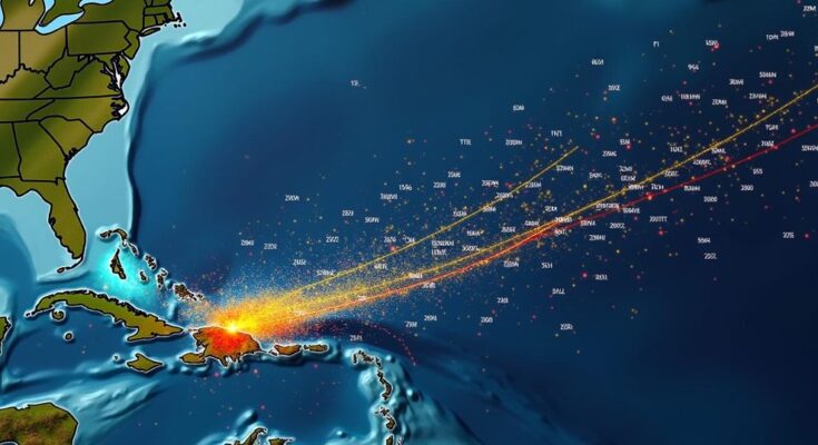
The National Hurricane Center is monitoring tropical storms Isaac, Joyce, and Kirk, which emerged following the devastation from Hurricane Helene. None of the storms are expected to make landfall in the U.S., though potential secondary effects, such as rip currents from Kirk, may still pose risks. Two additional disturbances are also being observed, with a possible risk for development in the coming days.
The National Hurricane Center (NHC) is currently observing three named tropical storm systems—Isaac, Joyce, and Kirk—arising in the aftermath of Hurricane Helene’s destructive trajectory across several Southern and Southeastern states. Despite being monitored, it is anticipated that none of these systems will make landfall in the United States. Hurricane Helene, classified as a Category 4 hurricane, made landfall last Thursday night near Perry in Florida’s Big Bend region, exhibiting maximum sustained winds of approximately 140 mph. The storm resulted in severe impacts across multiple regions, resulting in numerous fatalities and widespread destruction, particularly in Asheville, North Carolina, which faced severe flooding. Reports indicate that over 100 individuals lost their lives due to the storm’s catastrophic effects. The Atlantic hurricane season has intensified with the emergence of three named storm systems post-Hurricane Helene. Isaac, now a post-tropical cyclone, is situated northeast of the United States, exhibiting maximum sustained winds of 60 mph while moving further out to sea. Tropical Depression Joyce is located southeast of the U.S. and maintains maximum sustained winds of 35 mph, with predictions indicating it may dissipate on Monday. Tropical Storm Kirk, also positioned southeast of Joyce, has maximum sustained winds of 50 mph and may aim towards Europe. Nevertheless, there are indications, based on one model, that it may curve southwest towards South America’s Guyana. Computer-generated “spaghetti models” suggest that none of the three storms are likely to impact the U.S., with most projections for Isaac indicating a path toward Europe, although further weakening is anticipated prior to any potential landfall. The National Weather Service representative Will Ulrich advised that Kirk could indirectly affect the Eastern Seaboard through hazardous rip currents, which may impact coastal regions hundreds of miles away, prompting warnings for rip currents in the vicinity throughout the weekend and into early next week. Although impacts from Isaac, Joyce, and Kirk appear unlikely for the U.S., the NHC continues to monitor two additional disturbances. The first of these, Disturbance 1, is described as a large and disorganized low-pressure area over the western and southwestern Caribbean Sea, producing a few thunderstorms yet unlikely to develop into a named storm within the next 48 hours. The NHC has estimated a 40 percent chance of this system developing over the course of the next week. “Environmental conditions could become conducive for gradual development, and a tropical depression could form in a few days while the system is over the southern Gulf of Mexico or northwestern Caribbean Sea,” remarked the NHC. The timetable for the system’s potential development has shifted to later this week. AccuWeather’s head hurricane expert Alex DaSilva noted concerns regarding Disturbance 1 had diminished recently. While the system may still develop into a tropical storm or hurricane, he stressed that energy levels are less consolidated than before, indicating a reduced likelihood of significant escalation. Disturbance 2 is also under observation. This tropical wave has an initial 30 percent chance of formation in the next 48 hours, increasing to 80 percent over the next week as it progresses slowly westward across the eastern tropical Atlantic. Currently, spaghetti models for these two disturbances have yet to be made available given their nascent stage.
The article discusses the monitoring of three tropical storm systems—Isaac, Joyce, and Kirk—by the National Hurricane Center following the devastating impacts of Hurricane Helene. It outlines the severity of Helene as a Category 4 hurricane, which caused numerous fatalities and widespread flooding. Further, it explains the current status of the three storms, their projected paths based on computer models, and the implications of additional disturbances being monitored by the NHC.
In summary, the National Hurricane Center is keeping a close watch on three named storm systems which arose after Hurricane Helene. While Helene inflicted significant destruction and loss of life, the likelihood of Isaac, Joyce, and Kirk impacting the U.S. appears low. However, the NHC remains vigilant concerning two additional disturbances that may develop further. Accurate forecasting and monitoring remain crucial as the Atlantic hurricane season progresses.
Original Source: www.newsweek.com


