
As of 4 March 2025, satellite imagery has identified approximately 7 km² of flooded areas in Gaborone, South East, and Kgatleng Districts, Botswana. Floodwaters have receded significantly since late February, showcasing a broader recovery trend. This analysis requires further validation through ground feedback to UNOSAT.
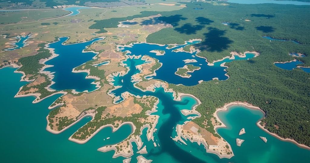
On 4 March 2025, satellites captured and mapped the extent of floodwaters in Gaborone, South East, and Kgatleng Districts of Botswana. Utilizing multisatellite imagery from Sentinel-2, PlanetScope, and Kanopus-V, the analysis revealed that approximately 7 km² of an analyzed area, totaling around 700 km², continued to be impacted by floods. Floodwaters decreased by approximately 23 km² since observations on 23 and 25 February 2025.
This preliminary analysis has yet to undergo field validation, and stakeholders are encouraged to provide on-ground feedback to the United Nations Satellite Centre (UNOSAT) for further assessment.
The satellite analysis on 4 March 2025 highlights the ongoing impact of flooding in key districts of Botswana, with specific attention to the receding water levels over the past week. The information remains preliminary, pending field validation, and calls for local feedback to enhance accuracy.
Original Source: reliefweb.int