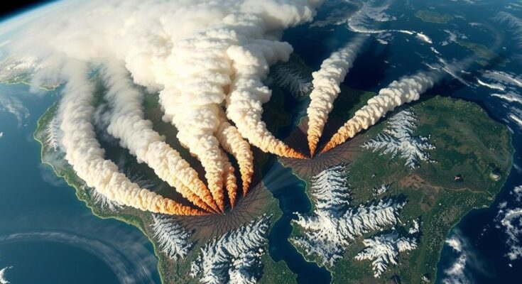
Recent satellite imagery from NASA reveals extensive fires and smoke in Brazil and Bolivia, driven by high temperatures, low humidity, and drought. The VIIRS instrument detected significant thermal anomalies, indicating health risks due to increased aerosol concentrations in the atmosphere. The data allows for real-time tracking of fire impacts and emphasizes the need for urgent monitoring and management efforts.
On August 28, 2024, fires and thermal anomalies were detected across Brazil and Bolivia, as evidenced by the red dots in the imagery provided by the Visible Infrared Imaging Radiometer Suite (VIIRS) instrument on the NASA/NOAA NOAA-20 satellite. The images reveal significant smoke issues, attributed to the combination of high temperatures, low humidity levels, and prolonged drought conditions afflicting the regions, thereby intensifying the fires’ impact. The left image shows true-color reflectance alongside the highlighted thermal anomalies, while the right image emphasizes the presence of atmospheric aerosols, which could negatively affect visibility and human health due to their concentrated nature, as indicated by dark red values in the Aerosol Index layer. Users are encouraged to utilize the interactive map feature in NASA Worldview to gain a more detailed understanding of the situation, along with the Fire Information for Resource Management System’s Global Fire Map for comprehensive data analysis.
Wildfires in Brazil and Bolivia pose significant environmental challenges, particularly as they intersect with factors such as climate change and land management practices. The unprecedented heat and drought conditions create a perfect storm for fire risks, affecting air quality and causing health-related issues for local populations. The VIIRS technology from NASA equips researchers and the public alike with vital data to monitor these evolving environmental crises, facilitating informed decision-making. Such monitoring is essential, considering the role of aerosols from biomass burning and their implications on both visibility and overall public health.
The ongoing fires in Brazil and Bolivia, exacerbated by environmental conditions such as drought and high temperatures, demand immediate attention. The utilization of advanced satellite imagery, particularly from VIIRS, provides crucial insights into the extent of these fires and associated aerosol concentrations, underscoring their impact on visibility and human health. As global attention to fire management and environmental health intensifies, continuous monitoring and data sharing become imperative for effective response strategies.
Original Source: www.earthdata.nasa.gov


