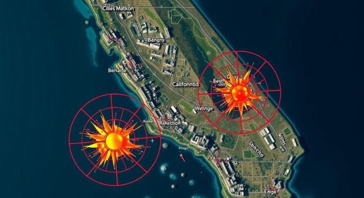
A magnitude 7.0 earthquake struck near Petrolia, California, resulting in a brief tsunami warning that affected areas from southern Oregon to San Francisco. The National Oceanic and Atmospheric Administration later canceled the tsunami warning, and authorities urged residents to evacuate coastal locations. Seismological evaluations indicated potential economic losses related to the quake.
On Thursday, a significant magnitude 7.0 earthquake occurred at approximately 10:44 a.m. near Petrolia, California, triggering a tsunami warning that extended from southern Oregon to San Francisco. The quake, which took place offshore and primarily affected Humboldt County, was associated with the San Andreas Fault. Initially, the tsunami warning indicated that waves could begin to impact locations along the northern coast of California and southern Oregon shortly thereafter, prompting urgent recommendations for residents to evacuate areas prone to flooding. However, by noon, the National Oceanic and Atmospheric Administration (NOAA) lifted the tsunami warning for the affected regions.
The tsunami warning was first issued shortly after the earthquake, with initial projections stating that the tsunami could reach Fort Bragg by 11:10 a.m. and San Francisco by 12:10 p.m. Authorities from the National Tsunami Warning Center urged individuals in the designated zones to vacate coastal and harbor areas to avoid potential flooding. Seismological data suggest a 32% likelihood of estimated economic losses ranging from $1 to $100 million due to the quake.
To understand the implications of the earthquake magnitude, it is essential to note that the magnitudes are assessed on a logarithmic scale. For example, a magnitude of 6.0 indicates a significantly stronger seismic event than a 5.0. According to Michigan Technological University, a magnitude below 2.5 is generally not felt, while values of 8.0 or higher can lead to catastrophic damage. Such assessments are crucial for gauging the potential impact of seismic activity on communities.
The increased seismic activity and natural disasters along California’s coastline, particularly near the San Andreas Fault, have drawn scrutiny from experts and officials. The San Andreas Fault, a major geological feature, is historically known for producing significant earthquakes that can impact millions of residents in the affected areas. These natural occurrences necessitate the need for efficient warning systems and preparedness protocols to safeguard public safety. The response to such earthquakes typically includes state and federal agency collaborations to assess risks and manage evacuations effectively.
In summary, the recent magnitude 7.0 earthquake near Petrolia, California, raised immediate concerns with a tsunami warning that was eventually rescinded. The incident underscores the importance of preparation and understanding seismic risk along the California coastline, particularly for communities situated near the San Andreas Fault. While economic losses are projected, the swift response of authorities highlights the need for ongoing vigilance and community awareness.
Original Source: www.registerguard.com


