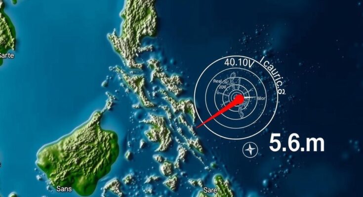
A magnitude 5.6 earthquake struck the northern Philippines on December 4, as reported by GFZ. The quake was centered near Bangui in Ilocos province at a depth of 37 kilometers. Authorities warn of possible aftershocks but report no immediate damage.
On December 4, a magnitude 5.6 earthquake occurred in the northern Philippines, as reported by the German Research Centre for Geosciences (GFZ). The quake struck at a depth of 37 kilometers, centered near the town of Bangui in Ilocos province. The Philippine Institute of Volcanology and Seismology (PHIVOLCS) indicated there could be aftershocks and potential damage as a result of the tremor. Local disaster official Fidel Cimatu noted that the shaking, while not extremely strong, lasted longer than usual. Authorities are currently assessing the situation for damage reports, but there have been no immediate accounts of significant destruction.
The Philippines is situated on the “Ring of Fire,” a region characterized by frequent seismic activity and volcanic eruptions surrounding the Pacific Ocean. Earthquakes in this area are common, prompting continuous monitoring and preparedness protocols by local authorities. The Philippine Institute of Volcanology and Seismology plays a crucial role in providing timely information regarding seismic events and potential hazards to the communities.
In summary, the December 4 earthquake in the northern Philippines measured 5.6 in magnitude and was noted for its longer duration of shaking. While no immediate damage reports have surfaced, local authorities are actively investigating the affected areas. Given the seismic nature of the region, preparedness and vigilance are essential for minimizing risks associated with future tremors.
Original Source: www.straitstimes.com


