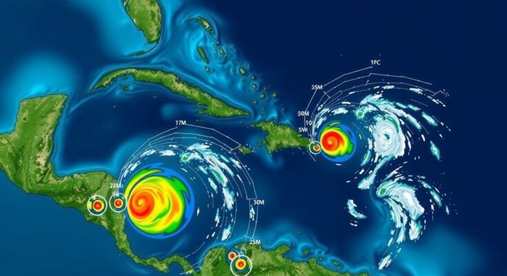
The National Hurricane Center is monitoring three areas in the Caribbean and Atlantic with potential for tropical storm formation, notably an area in the southwestern Caribbean, which has a 30 percent chance of development in the next two days and 70 percent in the upcoming week. Other systems are also being observed but are projected to have limited impacts due to high wind shear and cooler Gulf waters. Overall storm impacts are expected to be minor, with any developments likely affecting the northern Gulf coast.
The National Hurricane Center (NHC) has identified three areas in the Caribbean and Atlantic that display potential for tropical storm development. Notably, an area of low pressure in the southwestern Caribbean is evaluated to have a 30 percent chance of evolving into a tropical depression or storm within the next 48 hours, which increases to 70 percent over the course of the following week. Meteorologists project that this system may drift north or northwest into the central or western Caribbean, potentially forming either late this weekend or early next week. A ridge of high pressure that is anticipated to build over the Atlantic could further assist this system’s northwestern movement towards the Gulf of Mexico. Additionally, the NHC mentioned a new low-pressure trough forming near Puerto Rico, which is currently generating widespread showers and thunderstorms across the Greater Antilles and adjacent waters. Forecasters anticipate a slow development of this new system, which would pass the Greater Antilles over the coming days, bringing significant rainfall from the northern Leeward Islands through Puerto Rico, Hispaniola, eastern Cuba, and into the southeastern Bahamas. Paul Dellegatto from Fox 13 describes the situation as “a complicated set-up with lots of features to monitor,” highlighting the influences of the low-pressure trough, the large area of potential tropical development, and the presence of high-pressure ridges over Florida. It is important to note that any potential storm is expected to traverse warm waters in the Caribbean; however, it may encounter cooler temperatures in the Gulf that could hinder its intensification due to significantly reduced heat content compared to earlier in the season. Meteorologist Denis Phillips pointed out the potential impact of high wind shear and drier Gulf air, indicating that while the formation of a storm named Patty is conceivable within a week, the threat level is notably diminished compared to prior systems. “The general pattern favors an area of high pressure over Florida that will keep anything that forms west of us,” asserted Dellegatto, indicating that any storm impacts, if they materialize, would likely occur on the northern Gulf coast as a diminishing system. Moreover, a non-tropical low-pressure area has emerged approximately 400 miles west of the western Azores, with a minimal 10 percent chance of subtropical development as it progresses eastward over the next week.
As the Atlantic hurricane season continues, the National Hurricane Center actively monitors regions that may develop into significant tropical systems. The atmospheric conditions and water temperatures play essential roles in the formation and strengthening of storms, and forecasters assess various weather patterns that could either enhance or detract from a storm’s intensity. Understanding these dynamics aids in predicting potential storm tracks, rainfall distributions, and impacts on coastal areas, particularly in regions like the Caribbean and Gulf of Mexico, which experience varying conditions throughout the hurricane season. With the current developments, meteorologists are focusing on multiple weather systems to better forecast their potential progression and impacts.
In conclusion, the National Hurricane Center’s monitoring of three emerging weather systems in the Caribbean and Atlantic highlights the complexities of tropical storm formation and forecasting. The potential for a tropical storm named Patty remains, with increasing odds of development in the coming days. However, prevailing atmospheric conditions, including unusual high-pressure systems and lower ocean heat content, suggest that while storms may form, their strength and impact will likely be limited. Continuous updates and careful observation are necessary as situations evolve.
Original Source: patch.com


