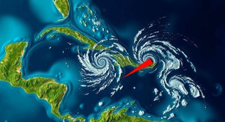
The National Hurricane Center is tracking two weather systems in the Atlantic, specifically Invest 95L in the northwestern Caribbean Sea, which may become a tropical depression with a 50 percent chance of formation. Conversely, Invest 94L is deemed unlikely to develop further. Significant rainfall is expected in Central America and southern Mexico, regardless of storm development.
The National Hurricane Center (NHC) has reported an increased likelihood of a tropical depression forming in the Atlantic Ocean, specifically in the northwestern Caribbean Sea, currently referred to as Invest 95L. This system is linked to a broad area of low pressure, which is generating extensive rain and thunderstorms in the region. As of a recent advisory from the NHC, the system is increasingly becoming organized north of eastern Honduras and is projected to strengthen in the coming days. The likelihood of development is rated at 50 percent within the next 48 hours, with forecasts suggesting that a transient tropical depression or storm may emerge before the system progresses inland towards Belize and the Yucatan Peninsula of Mexico by Saturday. Regardless of whether it develops into a named storm, significant rainfall is anticipated across Central America and southern Mexico this weekend. In addition, the NHC is observing a second system, designated as Invest 94L, which is described as a poorly-defined trough of low pressure. This system is producing disorganized precipitation patterns extending from the northern Leeward Islands and is expected to drift westward, near the Virgin Islands and Puerto Rico on Friday and towards Hispaniola and the southeastern Bahamas on Saturday. However, due to unfavorable upper-level wind conditions, the likelihood of further development is minimal, with only a 10 percent chance of formation in the next 48 hours. The forthcoming named storms in this season have been designated as Nadine and Oscar.
The Atlantic hurricane season typically runs from June 1 to November 30, during which various weather systems develop that can potentially escalate into more severe storms or hurricanes. The National Hurricane Center closely monitors these systems to provide timely updates and forecasts that are crucial for public safety and preventative measures. The current observation involves two disturbances in the Caribbean and Atlantic regions, which are under scrutiny for their potential development into tropical cyclones. Understanding the meteorological patterns and environmental conditions that influence these weather systems is vital in assessing their possible impact on land areas, particularly the United States and neighboring countries.
In summary, the National Hurricane Center is currently monitoring a significant system in the northwestern Caribbean Sea that exhibits potential for tropical depression development, with a 50 percent chance of formation. The system is expected to bring heavy rainfall to Central America and parts of southern Mexico. Meanwhile, a second system is showing little promise for development as strong upper-level winds impede its progress. Public awareness and preparedness continue to be important as the hurricane season progresses.
Original Source: www.usatoday.com


