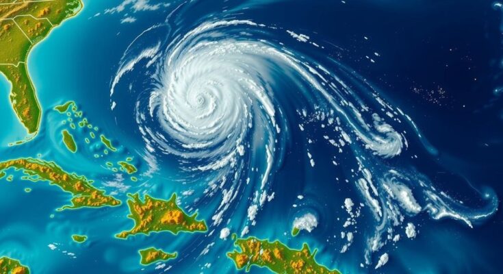
Storm Nadine, known as Invest A94L, was initially predicted to develop into a tropical storm with a 60 percent chance, but the prognosis has since dropped to 30 percent. Currently, it is moving at 20 mph and needs to reach 39 mph for a name. The system could affect the Caribbean, particularly Puerto Rico and the Dominican Republic, with potential life-threatening impacts, although further development seems unlikely due to unfavorable conditions.
Storm Nadine, initially identified as Invest A94L, captured public attention due to its potential development into a hurricane that could impact Florida, which is still recovering from Hurricane Milton. This system has been active in the Atlantic for over a week, gaining traction as it progressed westward towards the United States. The National Hurricane Center (NHC) indicated a 60 percent probability of the system developing into a tropical storm as of Tuesday, but the prognosis changed dramatically by Thursday, with a mere 30 percent chance of formation over the course of the next week. To qualify as a named storm, Nadine would need to achieve wind speeds exceeding 39 miles per hour; however, it is currently observed to be moving at only 20 miles per hour. This revised forecast is likely a relief to the Caribbean islands that were previously anticipated to bear the brunt of the storm’s intensity. Meteorologists have emphasized the unpredictability of weather patterns, noting that while the prospects for Nadine seem bleak, rapid changes are still possible. The NHC shared a 2 PM ET update, describing the showers and thunderstorms linked to the low-pressure trough located a couple of hundred miles east of the Leeward Islands as disorganized, although some minor development may occur in the days ahead as the system moves westward at a pace of 20 miles per hour. The storm is expected to traverse near the Virgin Islands and Puerto Rico by Friday and closer to Hispaniola and the southeastern Bahamas on Saturday. The likelihood of further development seems to diminish due to strong upper-level winds anticipated by the end of the weekend. Earlier predictions from AccuWeather raised concerns regarding life-threatening outcomes such as mudslides in Puerto Rico and power outages in the Dominican Republic, with heavy rains projected to reach up to 20 inches in northern Hispaniola, alongside wind gusts nearing 90 miles per hour. Onshore winds resulting from the system could lead to rough surf, rip currents, and coastal flooding along the Atlantic coastline from the Florida Keys to coastal Georgia. AccuWeather’s Lead Hurricane Expert, Alex DaSilva, commented on the situation, noting the tracking of a tropical wave that had emerged off the African coast earlier in the month. In light of the recent catastrophic impact of Hurricane Milton, which made landfall in Florida on October 9 with winds exceeding 100 mph and causing significant fatalities and damages, the prospect of another storm has drawn considerable attention. Despite still holding the potential to be classified as tropical storm Nadine, experts maintain a cautious outlook. Brian Tang, an associate professor of atmospheric science at the University at Albany, elucidated that forecasts are based on a combination of computer modeling and observational data, revealing a small likelihood—about 20 to 30 percent—that the disturbance will evolve into a tropical depression or storm within the week.
The article addresses the current status of storm Nadine, previously referred to as Invest A94L, and its potential threat to Florida amidst ongoing recovery efforts from Hurricane Milton. Updates provided by the National Hurricane Center (NHC) outline the storm’s initial potential for development into a tropical storm and the later decrease of that likelihood. The discourse explores the implications of this storm on Caribbean islands and coastal areas in the United States, while also reflecting on the recent impacts of Hurricanes Milton and Helene. The hurricane season is ongoing, contributing to heightened concern regarding storm developments, particularly as related weather phenomena have significant consequences in affected regions.
In conclusion, while storm Nadine presents some initial signs of potential development, the forecasts indicate a decreasing likelihood of it forming into a significant tropical storm. With wind speeds currently insufficient for classification as a named storm and strong upper-level winds anticipated to inhibit further organization, the storm poses reduced risk for coastal areas. However, given the nature of tropical weather and the ongoing hurricane season, vigilance remains imperative as conditions may still change rapidly.
Original Source: www.dailymail.co.uk


